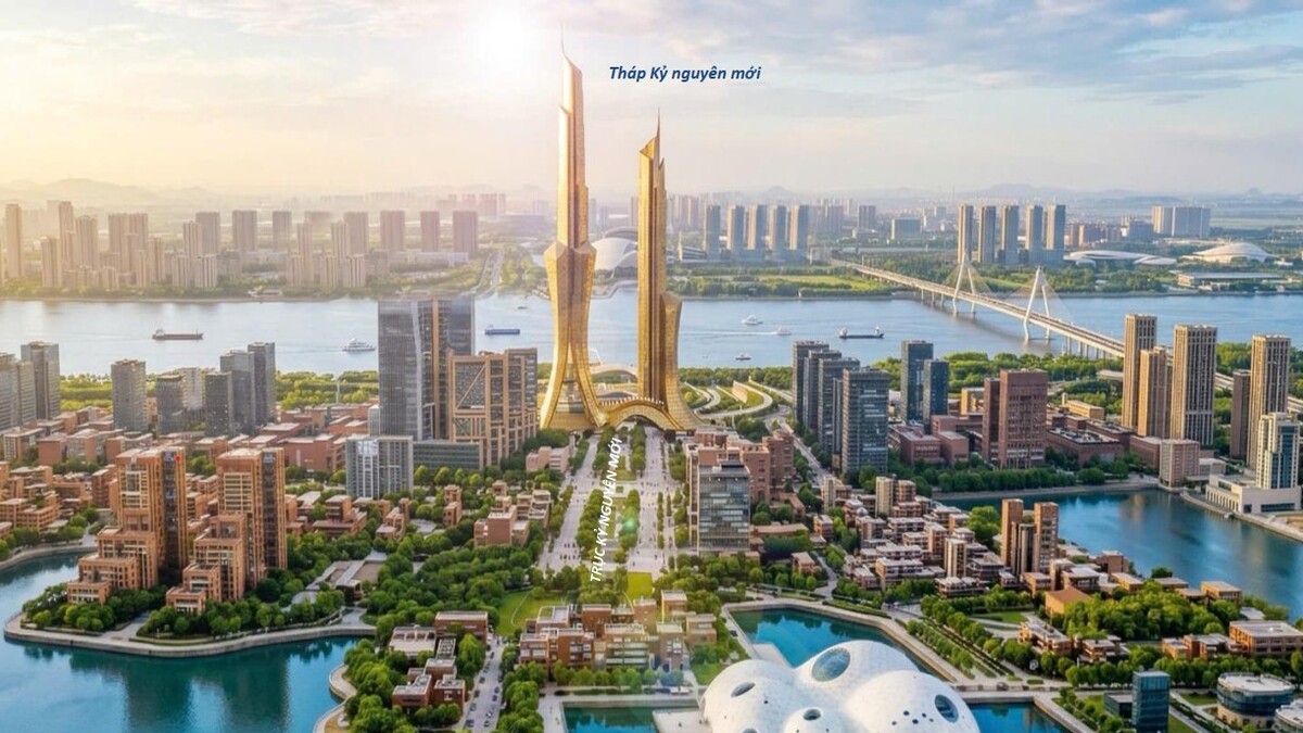
Master Plan Overview
The Hanoi People's Committee began a 20‑day public consultation on September 7 for the Red River Landscape Avenue (Trục đại lộ cảnh quan sông Hồng), a 40‑km urban corridor stretching from Hong Ha Bridge to Me So Bridge and crossing 16 wards and communes. The master plan, drawn at a 1:5,000 scale, divides the corridor into three zones. Segment 2, between Thang Long and Thanh Tri bridges, is earmarked as an "urban guest room" for redevelopment, financial services, commerce and innovation, anchored by the proposed 109‑storey Era Tower that will sit on the river’s right bank. Segment 1 (Hong Ha–Thang Long) will host ecological parks, sports facilities and green corridors, while Segment 3 (Thanh Tri–Me So) focuses on commercial, transport, agricultural‑eco parks and tourism‑oriented leisure.
Building and Land Use
Buildings are limited to 30‑45 floors, with a land‑use mix of 60% public‑service, 35‑40% residential, 25% specialized parks and 5% public parks; traditional villages may rise to three floors. The scheme also integrates 11 urban rail lines:
- metro lines 1, 2, 4, 5, 6, 7, 8, 10, 14, 15 and 2A
national and high‑speed rail along Ring Road 4, and a network of 17 road bridges plus one Duong bridge.
Transportation and Infrastructure
Five additional river bridges are slated for construction:
- Liên Trung
- Tàm Xá
- Cự Khối
- Bát Tràng
- Khuyến Lương
Compensation and Support
Compensation follows the 2024 Land Law and related resolutions. Eligible land (residential, agricultural and certain non‑agricultural parcels) receives cash at twice the statutory value; land without a title may still qualify after verification of origin, usage period and cadastral records. Separate compensation covers structures, trees, livestock and relocation costs, alongside support programs for livelihood stabilization, vocational training and job transition.